 Eastern Mojave Vegetation
|
Eastern Mojave Vegetation
| Map of road over Monitor Pass |
|
|

If you have a question or a comment about this photograph you may write to me at: tas4@schweich.com I sometimes post interesting questions in my FAQ, but I never disclose your full name or address. |
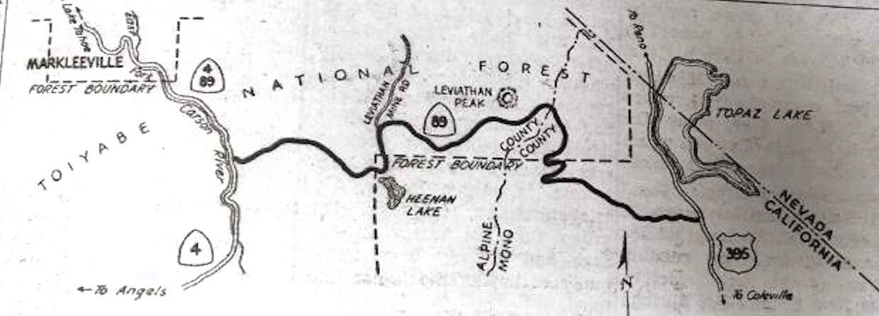
From the Nevada Appeal, 10 February 2016: Completion of 17 1/2 miles of new highway which connects by a more direct route the county seats of Bridgeport in Mono County and Markleeville in Alpine County will be celebrated by the boards of supervisors of the two counties with a dedication ceremony Sunday, when the new road will be opened formally to traffic.
Location records that use this photograph:
Article records that use this photograph:
Other photos about Geography - Mono County, California or Monitor Pass.
|
|
Date and time this page was prepared: 4/27/2024 3:34:57 PM |